

Where we're building, banking, and lending.
Explore our active developments, master-planned communities, and strategic land bank positions on the interactive map below.
Our Portfolio

SCITS — Sarnia Mixed-Use Redevelopment
A 9.4-acre transformation anchored by a 140,000 sq ft building and an approved 4-acre severed parcel zoned UR5-33.
View Project
Wainfleet Estate Lots
Nine estate-style freehold lots blending country living with modern infrastructure, near community amenities.
View Project
Northeast Pickering — Salem Road Lands in Regional Centre
An 11-acre mixed-use anchor in Northeast Pickering's approved Secondary Plan along Salem Road.
View Project
Caledon — Old School Road Growth Corridor
12 acres in the path of Caledon's next major growth corridor, near the planned Hwy 413 route.
View Project
Port Hope Master-Planned Community
Over 120 acres slated for a multi-phase, complete-community subdivision near Lake Ontario.
View Project
Port Colborne Canal-Side Industrial
A 1.05-acre canal-side property with ~ 8,000 sf across two levels — office, professional services, technical trades, training/education and light industrial use.
View Project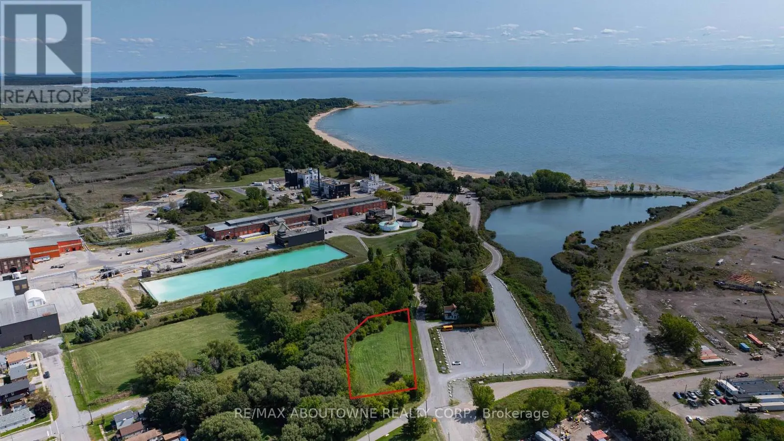
Port Colborne — Fares Street Corner Lot
A 1.05-acre corner development lot in East Village — zoned R4, walk to Nickel Beach, ideal for multi-family housing in a year-round recreational community.
View Project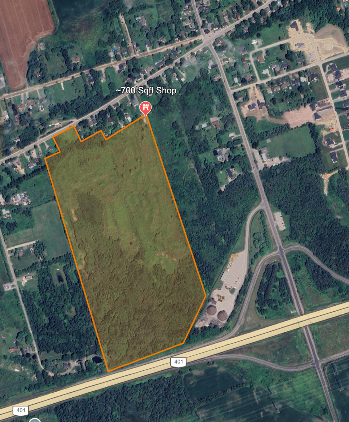
Newtonville — Future Subdivision
A 65-acre future subdivision holding fronting Highway 2 in Newtonville, minutes from Highway 401.
View Project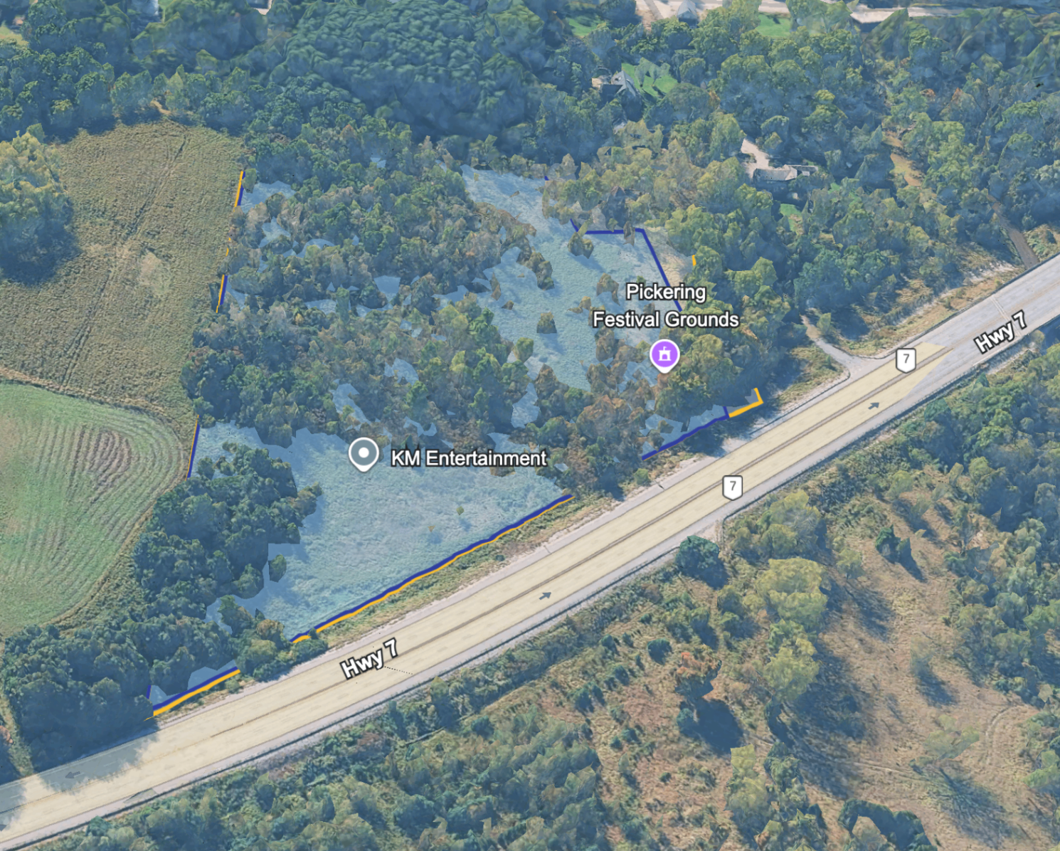
Northeast Pickering — Highway 7 Lands
A 9.5-acre low- and medium-density residential parcel fronting Highway 7 in Northeast Pickering — the closest NEP site to the GTA.
View Project